In 1569, Flemish cartographer Gerardus Mercator introduced a cylindrical map projection engineered for one specific nautical task: allowing sailors to plot a constant compass bearing (rhumb line) as a straight ruler line across an ocean chart. To preserve local angles everywhere on a sphere unrolled onto a flat rectangle, the Mercator projection must stretch both east-west and north-south distances by the secant of latitude (1 / cos(φ)), inflating apparent surface area by 1 / cos²(φ) as documented by the USGS Map Projections Technical Manual.
At the equator (0°), scale distortion is zero. At 45° latitude (northern Italy, Montreal, or Oregon), apparent area doubles. At 60° (Oslo, Helsinki, or southern Alaska), area quadruples. Across northern Greenland (72°–83° N), landmasses balloon to 10 to 16 times their real planetary area relative to equatorial Africa, South America, or Indonesia. Because standard web map tiles adopted Web Mercator for smooth city-street zooming, billions of students grew up internalizing skewed country proportions.
Ten Surprising Country & State Area Realities (With 1:1 3D Links)
Every figure below uses official sovereign or US Census total area in square kilometers—the exact Natural Earth dataset powering our Country Size Comparison Game. Click any 1:1 3D Map link to place both extruded territories side by side:
| Common Flat-Map Illusion | Northern / Familiar Territory | Equatorial / Compared Territory | Verified True Ratio | Open 1:1 3D Map |
|---|---|---|---|---|
| "Greenland equals Africa" | Greenland (2,166,086 km²) | Algeria (2,381,741 km²) | Algeria alone is 10% larger (Africa is 14×!) | Greenland vs. Algeria ↗ |
| "Greenland dwarfs Congo" | Greenland (2,166,086 km²) | DR Congo (2,344,858 km²) | DR Congo is 8.3% larger than Greenland | Greenland vs. DR Congo ↗ |
| "Greenland beats Arabia" | Greenland (2,166,086 km²) | Saudi Arabia (2,149,690 km²) | Virtually tied within 0.8% of total area | Greenland vs. Saudi ↗ |
| "Sweden dwarfs North Africa" | Sweden (450,295 km²) | Morocco (446,550 km²) | Practically identical (Sweden by 0.8%) | Sweden vs. Morocco ↗ |
| "Finland dwarfs SE Asia" | Finland (338,455 km²) | Vietnam (331,212 km²) | Nearly equal (within 2.2% area) | Finland vs. Vietnam ↗ |
| "Alaska beats Latin giants" | Alaska (1,723,337 km²) | Mexico (1,964,375 km²) | Mexico is 14% larger than Alaska | Alaska vs. Mexico ↗ |
| "Indonesia is small islands" | Indonesia (1,904,569 km²) | Alaska (1,723,337 km²) | Indonesia covers 10.5% more area across 5,120 km | Indonesia vs. Alaska ↗ |
| "UK dwarfs individual US states" | United Kingdom (243,610 km²) | Michigan (250,487 km²) | Michigan is 2.8% larger than the entire UK | UK vs. Michigan ↗ |
| "Japan is tiny beside Europe" | Japan (377,975 km²) | Germany (357,588 km²) | Japan is 5.7% larger than Germany | Japan vs. Germany ↗ |
| "Monaco equals a city district" | Monaco (2.08 km²) | NYC Central Park (3.41 km²) | Central Park is 64% larger than Monaco | Monaco vs. Central Park ↗ |
Why Linear Width Tricks Your Eye on Area Quizzes
Even after stripping away Mercator distortion using a centered Lambert Azimuthal Equal-Area (LAEA) projection, two geometric traps catch players off guard when resizing territories:
- The Square-Root Area Law: Surface area scales with the square of linear dimensions. If Country B has 2.0× the land area of Country A, its width and height only grow by
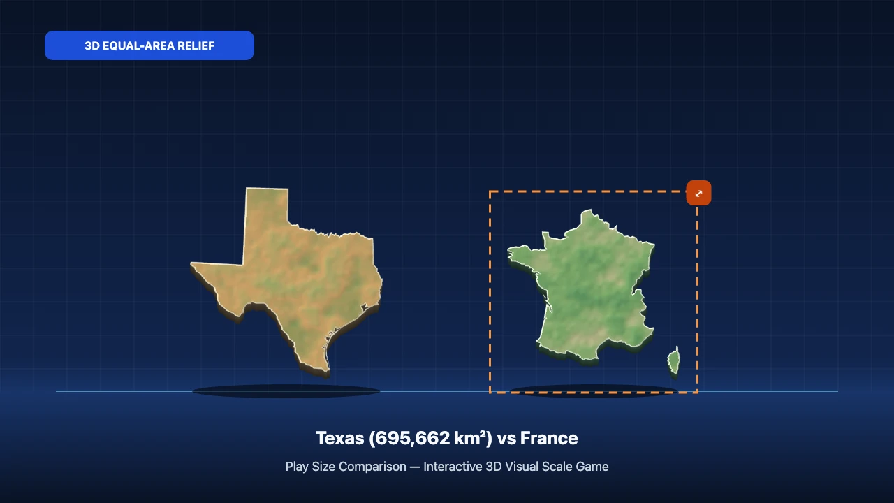
√2 ≈ 1.414×(41.4% wider and taller). Players who drag a territory to twice the height accidentally estimate 4.0× the area! Similarly, because Brazil (8,515,767 km²) is roughly 12.2× the area of Texas (695,662 km²), Brazil spans√12.2 ≈ 3.5×Texas's linear width on an equal-area stage. - Peninsulas, Fjords & Archipelagos: Compact boxy territories like Egypt (1,002,450 km²), Wyoming (253,335 km²), and Poland (312,696 km²) pack high land density inside their bounding boxes (
fillRatiobetween 0.62 and 0.91). By contrast, ribbon-shaped Chile (756,102 km²) or island arcs like Japan, Greece, and the Philippines (300,000 km²) enclose vast ocean water inside their outer bounding frame (fillRatio0.14–0.22). Our rendering pipeline measures top-surface landmass pixels directly and compensates bounding dimensions by1 / √fillRatioso painted land pixels stay mathematically faithful.
Test Your Recalibrated World Map
Launch Country Size Comparison Game to run a 3-Heart Survival streak exclusively on 84 geographic territories, or click 🔗 Copy 1:1 Link inside the 3D Lab & Dex tab to share any custom two-country comparison with friends or students.